Control and navigation
How mobile robots navigate: maps, SLAM and path planning
Delivery, cleaning and warehouse robots find their way on their own. Learn how they build maps with SLAM, locate themselves, plan routes around people and why the environment matters.
A robot that moves around a restaurant, hospital or warehouse has to answer three questions all the time: where am I, where do I need to go, and how do I get there safely?
AGV or AMR?
Traditional automated guided vehicles (AGVs) follow fixed paths such as magnetic tape, wires or markers on the floor. Autonomous mobile robots (AMRs) navigate freely with a map and their own sensors, so they can go around obstacles and be re-routed in software. Most modern service robots are AMRs.
Building a map: SLAM
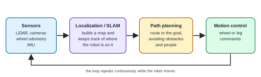
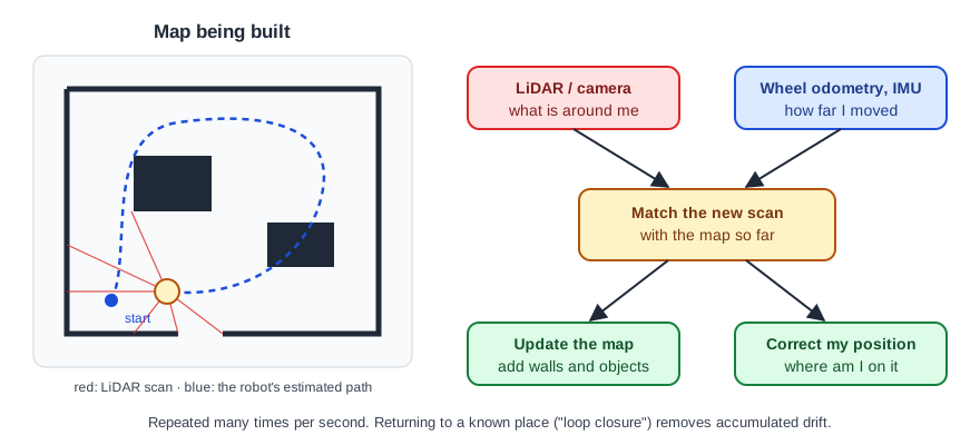
SLAM stands for simultaneous localization and mapping. During setup the robot is driven around once; it combines LiDAR or camera data with wheel odometry to build a map while keeping track of its own position on it. Operators then mark rooms, tables, docks and no-go zones on the map.
Localization
In daily work the robot matches what its sensors see against the saved map to know its position to within a few centimetres. Long featureless corridors, glass walls or big changes in the furniture make this harder, which is why some installations add markers on the ceiling or floor.
Path planning and obstacle avoidance
A global planner finds a route on the map; a local planner adjusts it second by second around people, carts and chairs. Service robots slow down or stop when someone steps in front of them.
What this means when you buy
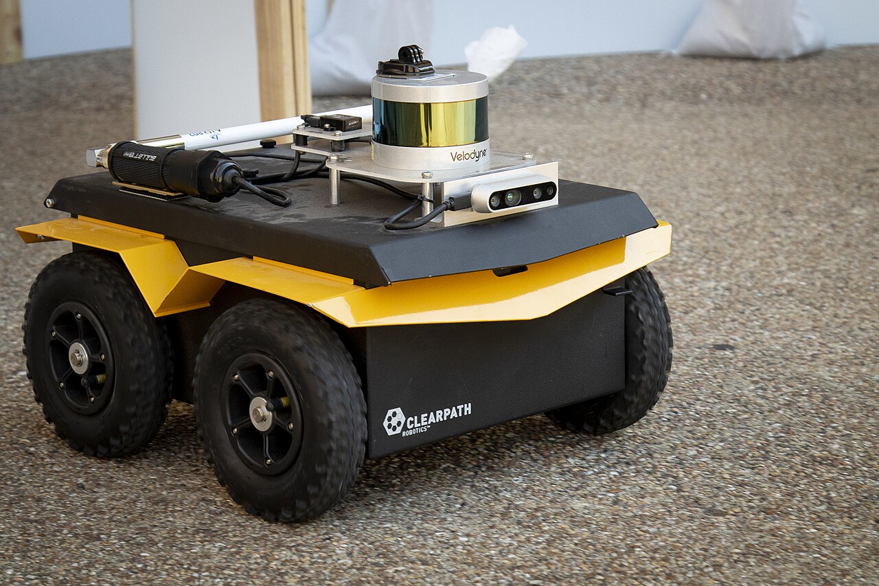
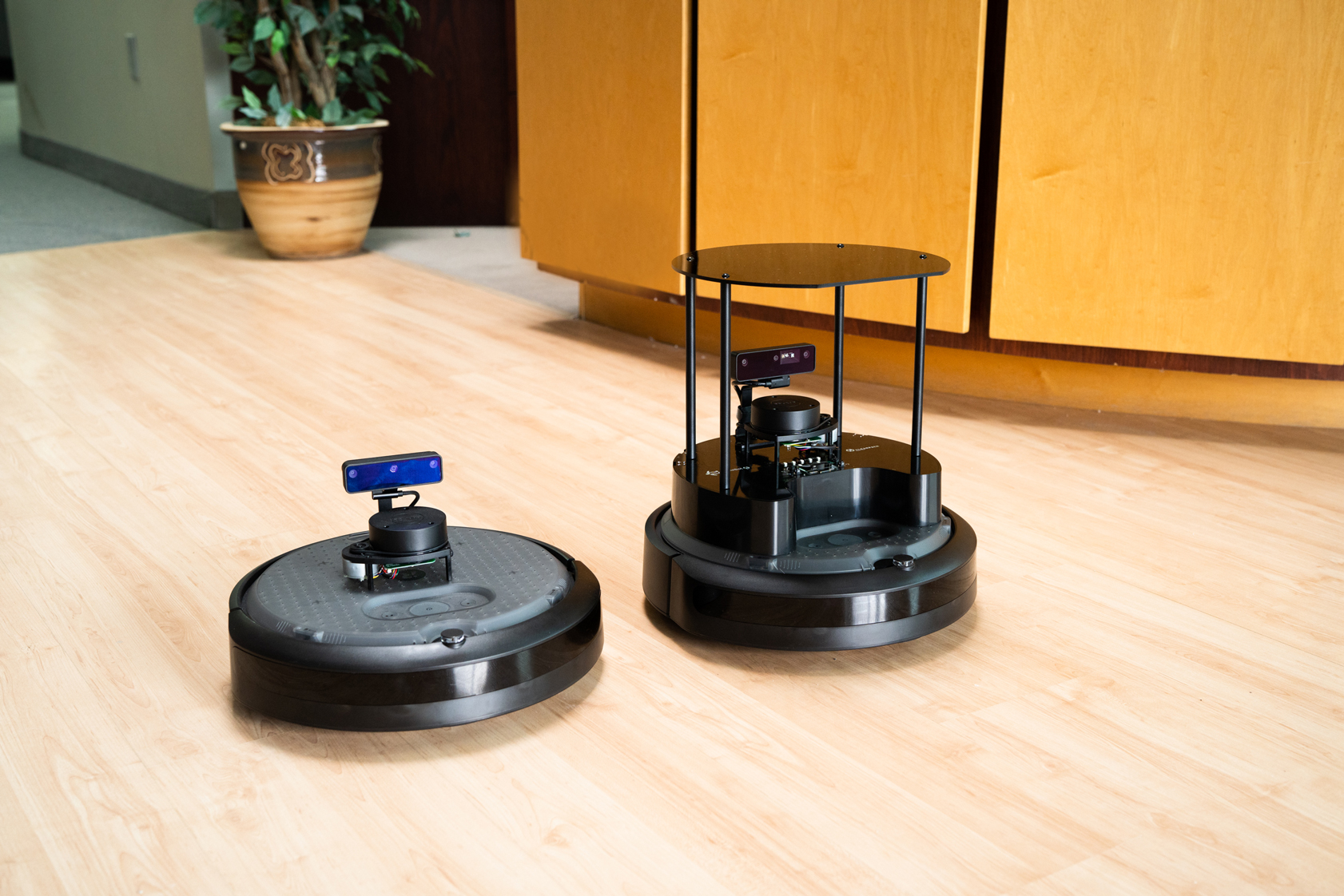
- Check which sensors the robot uses (LiDAR, depth cameras, or both) and whether it handles your floors, ramps, lifts and doors.
- Ask whether maps and routes can be edited by you or only by the dealer.
- Many AMRs expose an API or ROS interface for integration.
Compare AMRs, delivery robots and cleaning robots, and find local dealers and service.